Climate Science
Multimedia
VIDEOS
Sunita Narain on global carbon budget
Balwinder Singh Sidhu on “Rising to the Call : Good practices of Climate Change Adaptation in India”
MORE
PHOTOGALLERY

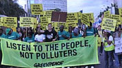
The first week of the climate talks (COP 19) at Warsaw saw developed and developing countries oppose each other on several matters including climate finance.
CARTOONS

Sustainable Development
PHOTOGALLERY
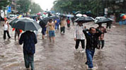
Kolkata among world's most flood-prone coastal cities: study

 Carbon Budget and INDCs


 Black Carbon